Posts tagged as "location"

As Location Goes Mainstream, So Does The Potential For Abuse

Geolocation isn't really anything new. In a lot of cases we've come to expect it. Most smartphones sold today have an on-board GPS receiver and it's considered a selling point for a handset to have one. Today's mobile mapping applications and Location Based Mobile Services make use of the location fix that GPS provides. We're used to our technology saying "you are here". Without this there'd be no Ovi Maps, no Google Maps, no Foursquare and no Facebook Places.

Long before we put up a network of over 20 satellites a less accurate version of geolocation was available. Pretty much anything that puts out a signal in the radio spectrum can be used to triangulate your position, if there's enough radio sources spead out over a wide area and if someone's done the leg work needed to geolocate you based on the position and strength of those radio sources. This can be done with mobile cell towers, with radio masts and more recently with the proliferation of wifi enabled access points, both in people's homes, in offices and in public areas.

Finding Inspiration And Teaching Myself Location History At The BCS Geospatial SG

With GeoBabel firmly put to rest, I was looking for inspiration when Andrew Larcombe asked me back to the British Computer Society's Geospatial Specialist Group to speak. After a week of drawing a blank, with Andrew sending gentle messages of encouragement via Twitter Direct Message (OI - GALE. TITLE. NOW!!) inspiration finally arrived from a variety of sources. Firstly there was Mashable's History of Location Technology infographic. Then there the brief history of location slides I'd used in a few of my previous talks. There was the rather fine 3D visualisation of geolocation history that Chris Osborne used at W3G and at GeoCom 2010. And then there were two questions that kept cropping up when speaking to people at conferences ... "this location stuff's only recent isn't it?" and "I can't keep up with this geo stuff, it's all moving too fast, where's it going?".

So I started to research this. I knew that location had a long history but I was taken aback to find out just how long that history was. I'd tended to think of the human race using longitude and latitude to work out their location sometime in the 1700's, about the same time as the race to make a working, reliable marine chronometer. It came as a bit of a shock to find out that longitude and latitude were first proposed in 300 BC and were first used to locate a position on the surface of the Earth in 200 BC. Focussing on use of location, on location sharing and on LBS/LBMS and putting GIS to one side I came up with A (Mostly) Complete & (Mostly) Accurate History Of Location (Abridged).

The Plains Of Awkward Public Family Interactions And The Bay Of Flames

Not content with pointing out the fun you can have with tracking your location, xkcd, the webcomic of romance, sarcasm, math and language has branched out into making maps. The updated map of online communities shows the volume of daily social activity across all of the online world, and not just the high profile ones that get the press coverage.

Click through for the full size versions and loose yourself in the plains of awkward public family interactions, the Bay Of Flames and other geographical wonders.

More Location Tracking; This Time From Foursquare

Back in March of this year I wrote about deliberately tracking my journey by using Google's Latitude and unexpectedly tracking the same journey by looking at the history of my Foursquare and Gowalla check-ins.

By using the history function from Google Latitude I was able to put together a quick and dirty visualisation of the locations I'd been to but my check-in history added not only the location but also the place that was at each location.

During last week's Geo-Loco conference in San Francisco, Fred Wilson (no, not the guy from the B-52's) mentioned that you could feed your Foursquare check-in history into Google Maps and produce another quick and dirty visualisation of not only the places you'd checked into but also where those places were.

Two Weeks In; Of Dog Food, Mobile Handsets and Finnish Doors

Two weeks into the Nokia and Ovi experience and I can finally pause and catch my breath. It's been an intense two weeks and asking me what my impressions are of Nokia are akin to putting someone at the top of a very large, very steep and very fast roller coaster, watching them plummet down and then, before they're even out of their seat, asking them to comment on what the scenery was like. So I won't even try to comment on the scenery and will instead merely record the four things that have stuck in my mind.

I've been busy. I've been very busy. I've also been at home for all of two days in the last two weeks and whilst video chatting with my family over Skype is better than a plain old fashioned voice call it's no substitute for being at home more; but things will settle down into a more manageable routine over the coming weeks. Being busy has meant that I've kept my head down and tried to assimilate all the new information with which I'm being bombarded, a fact that's not gone unnoticed by Chris Osborne ... "severe drop off in @vicchi's bloggage and tweetage levels, means that maybe, just maybe, he is actually doing some work these days". Quite.

Locating The Next Role; The Yahoo! Years

Looking back at my career over the last 20 or so years, it's immediately apparent that it's always been a bit geo. Geophysical seismic survey processing for natural resources (OK, mostly for oil and gas) for Digicon ... geo. Setting up operations for ERS-1, the European Space Agency's first remote sensing synthetic aperture radar satellite ... geo and rocket science. Short wave radio frequency planning to enable the BBC World Service to get transmissions into countries who would much prefer the BBC didn't broadcast there ... geo. Deploying the first geo-targeted ad system and rolling out a global place based view of the world internally and to the external developer community for Yahoo! ... totally geo. Granted, there were other roles which had no geo context whatsoever but I always seem to keep coming back to this vague and nebulous mixture of place, location, maps and geography that we term geo.

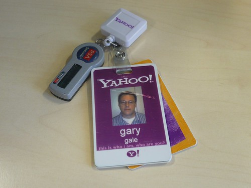
this is who I am, who are you?

Some 4 years ago (actually 3 years and 10 months but let's round up for the sake of convenience) I wasn't really looking for a new role, but the opportunity arose to come and lead and engineering team for Yahoo! Now, four years later, it's time to move onto another role, but more of that in a moment.

Crystal Ball Gazing Part 2 - Eddy's Sofa and The Nightmare of a Single Global Places Register

I recently contributed an article to the OpenGeoData, the blog and podcast on open maps, data and OpenStreetMap, a snippet of which is below.

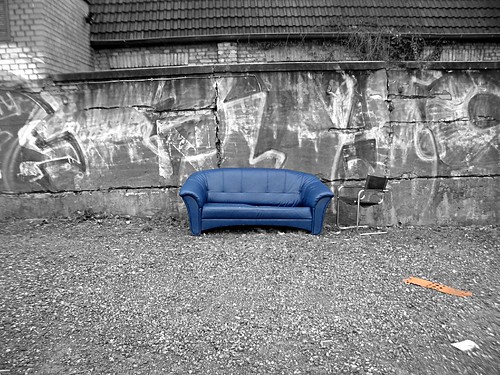
"Eddies," said Ford, "in the space-time continuum." "Ah," nodded Arthur, "is he? Is he?" "What?" said Ford. "Er, who," said Arthur, "is Eddy, then, exactly, then?" ... Why," he said, "is there a sofa in that field?" "I told you!" shouted Ford, leaping to his feet. "Eddies in the space-time continuum!" "And this is his sofa, is it?" asked Arthur, struggling to his feet and, he hoped, though not very optimistically, to his senses.

Jump onto Eddy's sofa for a moment and fast forward to a possible 2015.

After the location wars of 2010, the problems of mutually incompatible geographic identifiers have been solved with the formation of the Global Places Register. Founded by a fledgling startup on the outskirts of Bangalore, the GPR offered an open and free way for individuals and corporations to add their town, their business, their POI. All places added became part of the Global Places Translator, allowing Yahoo's WOEIDs to be transformed into OpenStreetMap Ways, into long/lat centroids, into GeoNames ids or even, for the nostalgic, Eastings and Northings.

Sofa im Regen

... the rest of the article is on the OpenGeoData blog.

Photo Credits: Hell-G on Flickr.

Your Place Is Not My Place; The Perils of Disambiguation

We take the art of geographic lookup for granted these days; type a place name into a form on a web site or feed it into a web service API and hey presto! Most of the time you'll be told whether or not the place name is valid or not and, in case there's more than one place with the same name, either asked to choose which one you mean or be presented with the most likely place.

Most of the time ... but not all of the time.

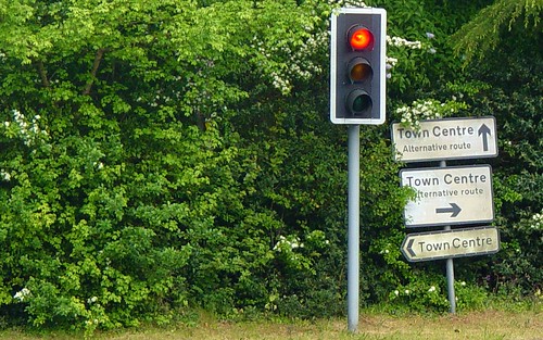
Which Way To The Town Centre?

The hey presto bit of the process seems at first glance to be relatively trivial but isn't. Just ask anyone who's had to implement a system that handles place names. Actually, the hey presto part is actually two discreet processes in their own right. First of all we need to identify a place, or whether indeed there's a place at all; this is usually called geoidentification.

Retiring The Theory of Stuff; But First, A Corollary

It's time to put the Theory of Stuff out to pasture. It's had a good life. It's appeared in 5 of my talk decks (or so Spotlight tells me), in 3 of my blog posts and continues to generate hits on my blog (or so my analytics tells me).

When I tell people I'm going to talk about my theory, a Mexican wave of shoulder slumping passes through the room, coupled with a prolonged sigh from an audience who've just resigned themselves to a slow painful death over the coming minutes. Luckily things perk up when my introductory slide of Anne Elk (Miss) and her Theory appears but even so, it's time to quit whilst you're ahead.

You may well ask, Chris, what *is* my theory?

But before I do ...