Phi, Lambda and (Slightly Embarassing) Temporality
Longitude and latitude have been formally used as a geographic coordinate system offset from the Greenwich Meridian since the International Meridian Conference of 1884 in Washington D.C.
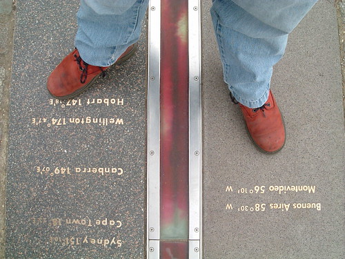
As a spatial coordinate system, longitude (abbreviated as φ, or phi) and latitude ( λ, or lambda) work very well in defining a point on the surface of the Earth. But to gain further meaning from a long/lat pair you either need some clever algorithmics or you need to plot the long/lat point on a map which even then will yield information only as good as that which is rendered on the map itself.
Which is why I think identifier systems, such as Yahoo's WOEID, add so much value. A WOEID adds a linked web of rich metadata, describing not only a point with a long/lat centroid, but also reinforces the concept of a place, with neighbouring and hierarchical relationships.
Coordinates describe the where of a place, identifiers such as WOEIDs describe the how of a place but both conveniently (in a slight embarrassed, foot shuffling short of way) overlook the when of a place.