Right Now

⏳ Waiting for the APIs in the Cloud for what's going on right now ...

Curiously Cartographic Creations #2 - Alternative Maps Of Europe

In the first of this occasional series, I looked at a curiously familiar but not quite right map of the London Underground evilly designed for tourists. In this second part of the series, it's time to cast out gaze out across the English Channel to Europe and how two of the member states see the European Union.

First there's how the Swedes see Europe; Britain is characterised by inventing soccer, inventing hooligans and beer (all three of which may be related) amongst others. The other European countries don't fare much better.

Europe according to the Swedes

Heading South and slightly East is the self styled Chosen Nation of Hungary. While the descriptions are mostly one or two words, they're not that flattering.  Britain is simply jobs, while other member states are characterised as tourist hordes, pizza, last minute hotels and beer land.

Europe according to the Hungarians

Crystal Ball Gazing Part 2 - Eddy's Sofa and The Nightmare of a Single Global Places Register

I recently contributed an article to the OpenGeoData, the blog and podcast on open maps, data and OpenStreetMap, a snippet of which is below.

"Eddies," said Ford, "in the space-time continuum." "Ah," nodded Arthur, "is he? Is he?" "What?" said Ford. "Er, who," said Arthur, "is Eddy, then, exactly, then?" ... Why," he said, "is there a sofa in that field?" "I told you!" shouted Ford, leaping to his feet. "Eddies in the space-time continuum!" "And this is his sofa, is it?" asked Arthur, struggling to his feet and, he hoped, though not very optimistically, to his senses.

Jump onto Eddy's sofa for a moment and fast forward to a possible 2015.

After the location wars of 2010, the problems of mutually incompatible geographic identifiers have been solved with the formation of the Global Places Register. Founded by a fledgling startup on the outskirts of Bangalore, the GPR offered an open and free way for individuals and corporations to add their town, their business, their POI. All places added became part of the Global Places Translator, allowing Yahoo's WOEIDs to be transformed into OpenStreetMap Ways, into long/lat centroids, into GeoNames ids or even, for the nostalgic, Eastings and Northings.

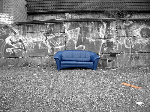
Sofa im Regen

... the rest of the article is on the OpenGeoData blog.

Photo Credits: Hell-G on Flickr.