2009 In Review Part 2: Organisations
In an earlier post, I wrote about the gadgets that made 2009; now it's time to look at the organisations and by strange coincidence, as there were 3 gadgets, so there are 3 organisations.
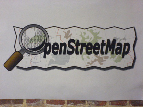 First up is OpenStreetMap. One of the things I write about a lot is geographic data, how everyone wants free, open, high quality data but how no-one really wants to pay for it. While attempts to monetise the data corpus of OpenStreetMap haven't entirely succeeded, yet, there's no denying that all the contributors to one of the biggest crowdsourced data projects on the Internet ... believe, and they've created something incredible.
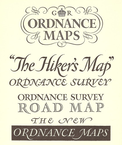
The second organisation is the Ordnance Survey, or to be more specific, the staff of the Ordnance Survey. Much maligned and the object of much derision within the geo community, the majority of the staff as the OS have been working towards opening up the vast reams of excellent high quality geo data and it finally looks as if their hard work and belief is paying off.
And thirdly is the folks behind the GeoVation Challenge Award.
GeoVation is all about doing stuff, worthwhile and exciting stuff with geography, with location and with geo. It's funded by the Ordnance Survey but it isn't an Ordnance Survey project per se. The best way to view it is the Ordnance Survey's first, hesitant, tentative steps towards opening up their data.The people behind OpenStreetMap believe in open data, the people behind the Ordnance Survey want to believe in open data and I believe in the GeoVation Challenge, so much so that I've accepted an offer of a seat on the judging panel for the Awards.
2009 seemed to be less about technology and more about communities and people, and that means a lot of belief.
Coming up later today is Part 3: People ...
Photo credits: mikeyashworth and simonperry on Flickr